


Top 5 Longest Rivers in Slovakia

Almost all of Slovakia's rivers (96 percent) flow into the Danube and its tributaries, which then flow into the Black Sea. Only 4% of Slovakia's land is ... read more...drained by the Dunajec and Poprad rivers, which flow into the Vistula in Poland and the Vistula into the North Sea. Let's discover the beauty of the longest rivers in Slovakia.
-
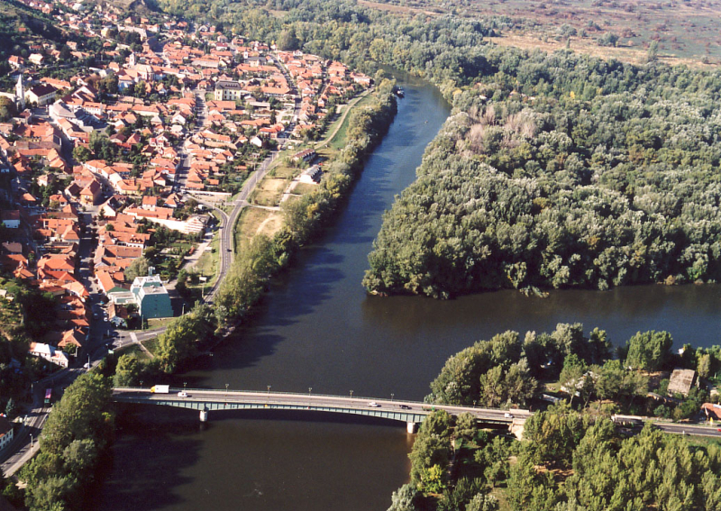
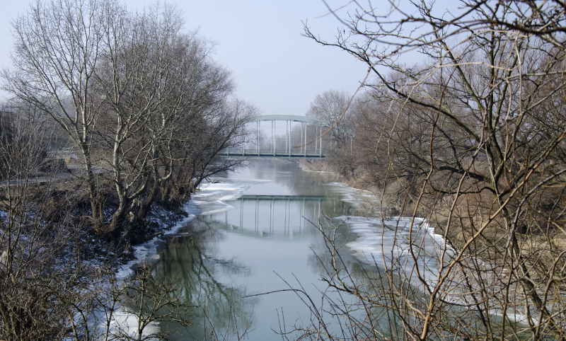
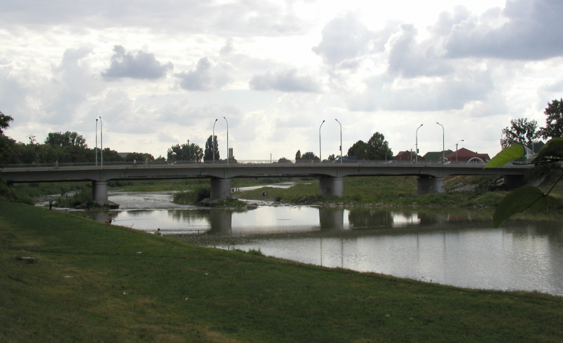
The Bodrog River is a river that flows through eastern Slovakia and northern Hungary. It's a tributary of the Tisza River. The Bodrog is produced in Zempln in eastern Slovakia by the confluence of the rivers Ondava and Latorica. It flows through the Hungarian county Borsod-Abaj-Zemplén until it meets the river Tisza in Tokaj, crossing the Slovak–Hungarian border at the villages of Felsberecki (near Sátoraljajhely).
In Hungary and Streda nad Bodrogom in Slovakia, where it is also the lowest point in Slovakia (94.3 m AMSL), and continues its flow through the Hungarian county Bor Sárospatak, Hungary, is a town along the river's path. It is 67 kilometers long (15 in Slovakia, 52 in Hungary). It has a watershed area of 13,579 km2, 972 km2 of which is in Hungary.
Fish abound in the Bodrog River. For flood protection and crop production, the upper basin has been intensively drained. The first water cooperatives were formed around 1880. In 1958, four retention reservoirs, 453 kilometers of dikes, 28 pumping stations, and 522 kilometers of drainage canals were built as part of a complex water management plan. This is one of the longest Rivers in Slovakia.
Length: 67 km
https://littlebigslovakia.com/ 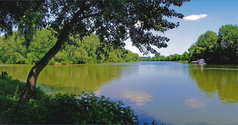
https://littlebigslovakia.com/ -
The Danube River (Latin: Hister) is Europe's second-longest river (the Volga is the longest). It is the European Union's longest river. The river stretches for 2,860 kilometers (1,777 miles). In Donaueschingen (near the Black Forest), Brigach and Breg join forces to "make" the Danube.
The Danube River runs across ten countries, including Germany, Austria, Slovakia, Hungary, Croatia, Serbia, Romania, Bulgaria, Moldova, and Ukraine, and forms part of their borders. Through the Danube Delta, the river empties into the Black Sea. The Danube is a significant river. Ocean ships may dock in Romania's Brăila. In Bavaria, river boats can go to Kehlheim. Smaller ships can make the journey to Ulm.
The Danube-Tisa-Danube Canal (DTD) in the Banat and Baka regions (Vojvodina, Serbia's northern province); the 64-kilometer Danube-Black Sea Canal between Cernavodă and Constanţa (Romania), completed in 1984, reduces the distance to the Black Sea by 400 kilometers; and the Rhine-Main-Danube Canal (about 171 kilometers), completed in 1992, connects the North Sea and the Black Sea. This river is one of the longest Rivers in Slovakia.
Length: 2850 km
https://simple.wikipedia.org/ 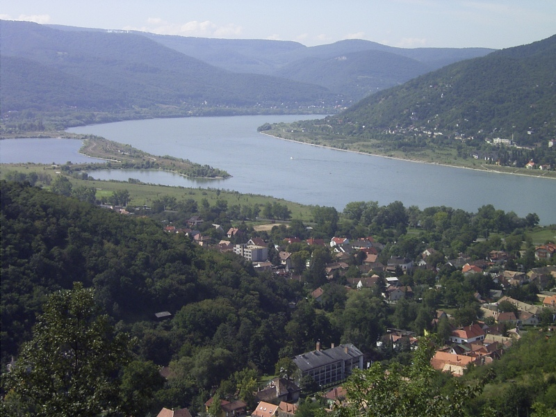
https://simple.wikipedia.org/ -
Hornád River (pronounced [rnat] in Slovakia) or Hernád (pronounced [hrnad] in Hungary) is a river in eastern Slovakia and north-eastern Hungary. It is a tributary of the Slaná River (Sajo). Hornád originates on the eastern slopes of Kráova hoa hill, south of uava. The river is 286 kilometers long, with 178 kilometers in Slovakia and 108 kilometers in Hungary.
Spiská Nová Ves and Koice, both in Slovakia, are cities along its path. It merges into the Sajó (Slovak Slaná) river southeast of Miskolc. A succession of six different limestone rocky cliffs and steep slopes along the river, forming the 'Hornádske vápence' Site of Community Importance.
Boating on the Hornád river in the Slovak Paradise, which is part of Slovakia's longest river canyon, is available during the summer season. After many years, you may once again enjoy the 11,75-kilometer-long canal in one of the park's most beautiful areas.
The Hornád River flows through a deep canyon with steep cliffs, creating a piece of land that is unlike any other in the region. It is assured that you will have a memorable experience while maintaining the greatest level of environmental protection. This is one of the longest Rivers in Slovakia.
Length: 286 km
https://en.wikipedia.org/wiki/Horn%C3%A1d 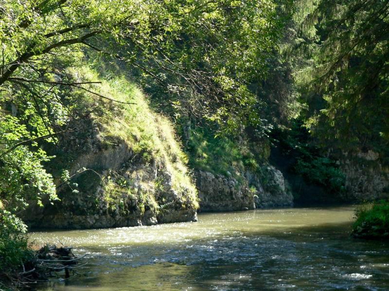
https://en.wikipedia.org/wiki/Horn%C3%A1d -
The Poprad River (Hungarian: Poprád, German: Popper) is a tributary of the Dunajec River in northern Slovakia and southern Poland, near Stary Scz. It stretches for 170 kilometers (63 kilometers of which are inside Polish territory) and has a basin area of 2,077 square kilometers (1,594 km2 of which is in Slovakia, and 483 km2 in Poland).
Much of the Polish portion of the river's basin is protected as Poprad Landscape Park, which includes the Poprad River Gorge, a major tourist attraction between Piwniczna and Rytro. Poprad is the only major Slovak river that flows northward into Poland.
The river runs through the Slovak towns of Poprad, Kemarok, and Stará ubová before forming the Polish-Slovak boundary for 31.1 kilometers and passing through the Polish towns of Krynica-Zdrój, Muszyna, Piwniczna-Zdrój, Rytro, Stary Scz, and egiestów, among others. The term comes from the Proto-Slavic verb prd- (to leap, to flow quickly), which is retained in the Slovak words prias and pradenie (to spin, spinning).
Length: 174.2 km
https://en.wikipedia.org/ 
https://en.wikipedia.org/ -
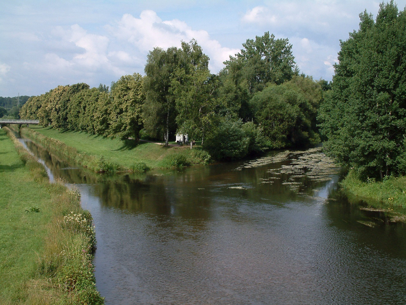
Latorica River (Hungarian: Latorca; Slovak: Latorica; Ukrainian: атоpи, translit.: Latorytsia) is a river in the Danube's watershed. Its source is near the town of Latirka in the Ukrainian Carpathians (Eastern Carpathian Mountains). It runs 188 kilometers west from Ukraine (156.6 kilometers) to Slovakia (31.4 kilometers), passing through the cities of Svaliava, Mukacheve, Solomonovo, Chop, and Velke Kapusany.
It has a basin area of 7,740 km2 (2,990 sq mi). The Latorica River, which is a tributary of the Tisza, is formed by its confluence with the Ondava in Zempln. Since 1993, a portion of its watershed (Latorica Protected Landscape Area, "Ramsar site No. 606," 44.05 km2) has been included to the Ramsar list of internationally significant wetlands.
In addition, next to the river is the Latorica Protected Landscape Area. The park encompasses the Slovak portion of the Latorica River, as well as the lower reaches of the Ondava and Laborec rivers. The landscape region is made up of a network of riverbeds and arms, which are flanked by alluvial woodland and marshes. The PLA's most notable feature is the uncommon water and swamp biocenose, which is found nowhere else in Slovakia. This is one of the longest Rivers in Slovakia.
Length: 188 km
https://en.wikipedia.org/wiki/Latorica 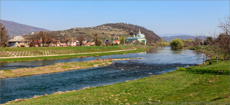
https://en.wikipedia.org/wiki/Latorica


