


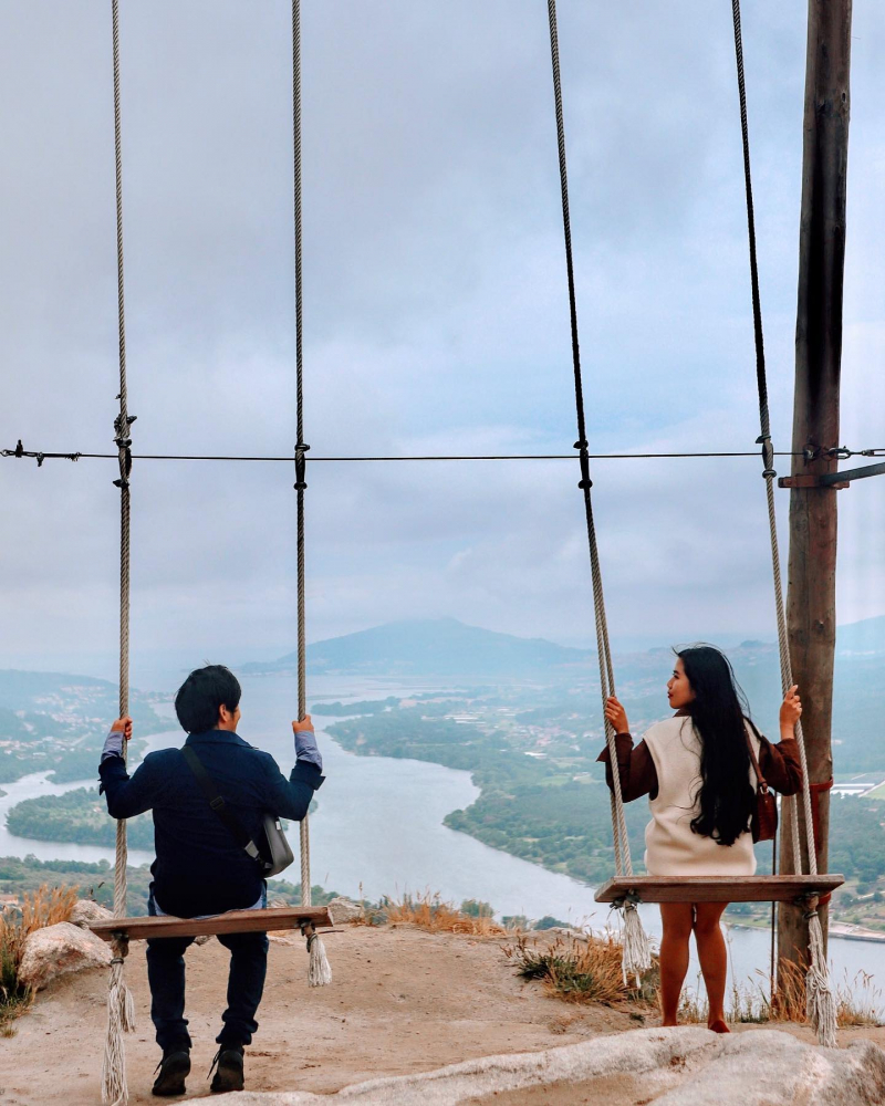
Top 10 Longest Rivers in Spain

Spain is a country in Europe's southwest, sharing the Iberian Peninsula with Portugal. The country is 195,363 square miles in size (505,990 square kilometers). ... read more...The country has a lot of rivers that go through it. The rivers are used for a variety of purposes, including hydroelectric power generation, agricultural irrigation, and the promotion of the fishing sector. Below, Toplist has compiled a list of the longest rivers in Spain. Hopefully, you will find it useful.
-
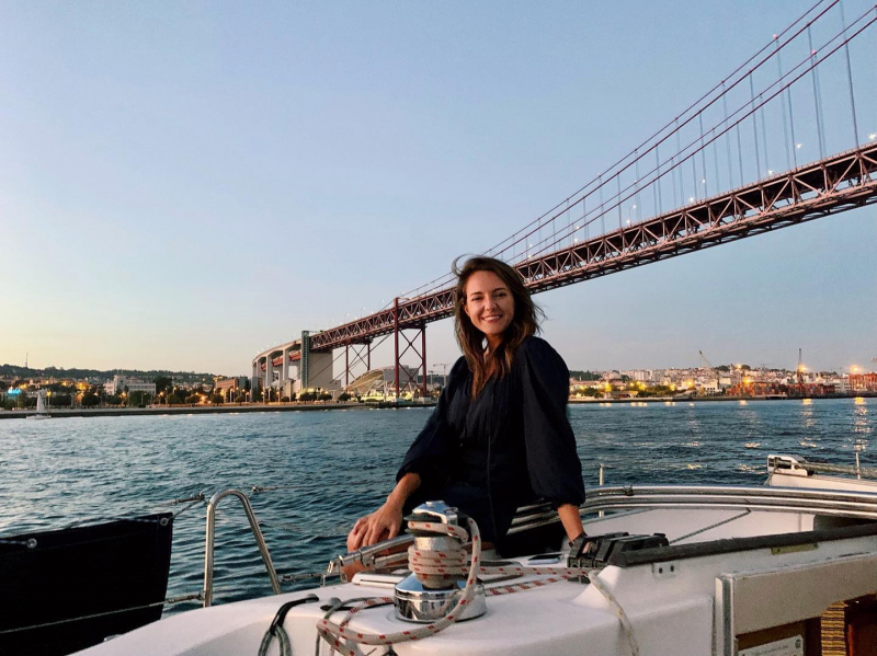
The Tagus is the Iberian Peninsula's longest river. The river travels westward over narrow basins and deep gorges toward Portugal, beginning in the Sierra de Albarracn in eastern Spain. It stretches about 645 kilometers and drains a total area of 31,500 square miles. The Tagus forms part of the Spanish-Portuguese border. It runs through various cities, including the Portuguese capital of Lisbon. The Tagus River played an important role in the development of Spain and Portugal.
On the banks of the Tagus, cities like Aranjuez, Toledo, and Talavera de la Reina grew up. For the people that live along the river, it is the primary source of water. Its water is also used to create electricity by dozens of hydro-power facilities. There are many plants and animals in the river basin. Some of the species found in the river include trout, royal carp, black bass, and luce. Spanish vines thrive in the Tagus basin. The Tagus basin is also home to coniferous trees utilized in the lumber sector.
Length: 645 miles (shared with Portugal)
https://www.instagram.com/chelseabarrie/ 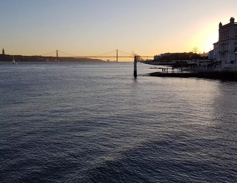
https://www.instagram.com/den.is_88/ -
With a length of 578 miles, the Ebro is the longest river located entirely in Spain and the second-longest in the Iberian Peninsula. The Fontibre springs in northern Spain are its source. The river's drainage basin spans 33,000 square miles or almost a sixth of Spain's total geographical area. The Ebro is a river that travels eastward and empties into the Mediterranean Sea. The Ebro is fed by about 200 tributaries. The Gallego and Aragon Rivers are two of the most important tributaries.
The Ebro is a river that supports hydroelectric power plants that provide electricity to Spain. Vineyards are also irrigated by the river. There are 95 bird species, 69 animal species, and nine plant species in the Ebro basin. The Ebro's fish contain significant levels of mercury, and the European Union forbids commercial fishing on the river. Dam development, chemical pollution from industry, the introduction of alien plants and animals, and agricultural dumping are all threats to the Ebro eco-system. The Ebro Delta National Park was established in 1986 to protect Ebro's unique ecosystem.
Length: 578 miles
https://www.instagram.com/mario.dyb/ 
https://www.instagram.com/mario.dyb/ -
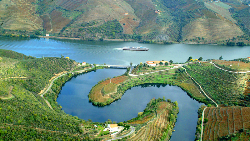
The Douro is one of Spain's major rivers and the Iberian Peninsula's third longest. It flows across Spain and Portugal, with a total distance of 557 kilometers. Its origins can be found in central Spain's Sierra de Urbión. It flows through the Numantian Plateau before flowing westward into northern Portugal and into the Atlantic Ocean. The Elsa, Arlanzón, and Pisuerga are the three primary tributaries of the Douro.
Since 1930, the river has been used to generate hydroelectric power. Olive and almond trees are grown in the river basin. The Douro Valley is a UNESCO World Heritage Site known for its wines. In the past, the river was used to convey wine from the vineyards. The river runs through gorges and rapids upstream, making navigation difficult, however it is passable downstream in Portugal. Along the banks of the Douro, many Spanish and Portuguese cities have been developed.
Length: 557 miles (shared with Portugal)
https://edition.cnn.com/ 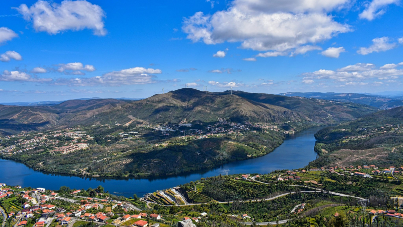
https://europe.wetlands.org/ -
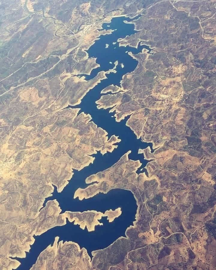
The Guadiana river, sometimes known as the Odiana, is a lengthy section of the Portugal-Spain border that separates Extremadura and Andalusia (Spain) from Alentejo and Algarve (Portugal). The river's basin stretches from Extremadura's east coast to the Algarve's southern provinces. The river and its tributaries flow from east to west across Portugal, eventually flowing into the Gulf of Cádiz through the border towns of Vila Real de Santo António (Portugal) and Ayamonte (Spain). It is the fourth-longest river in the Iberian Peninsula, covering 829 kilometers, and its hydrological basin encompasses an area of around 68,000 square kilometers (the majority of which lies within Spain).
The Guadiana crosses three autonomous communities in Spain (the provinces of Ciudad Real, Badajoz, Huelva, and to a lesser extent Albacete). In Portugal, the river runs through the Alentejo and Algarve regions, as well as the districts of Portalegre, Évora, Beja, and Faro.
Length: 508 miles (shared with Portugal)
https://www.instagram.com/awesome_travel_stories/ 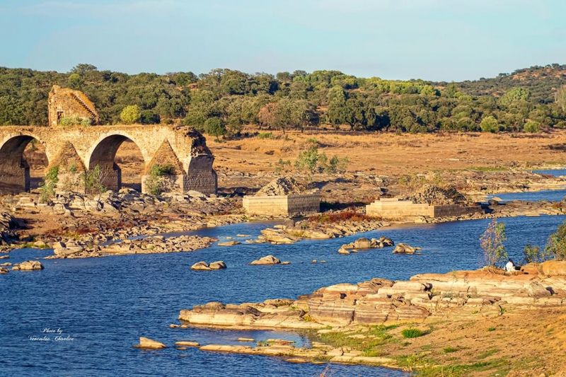
https://www.instagram.com/slawins_photography/ -
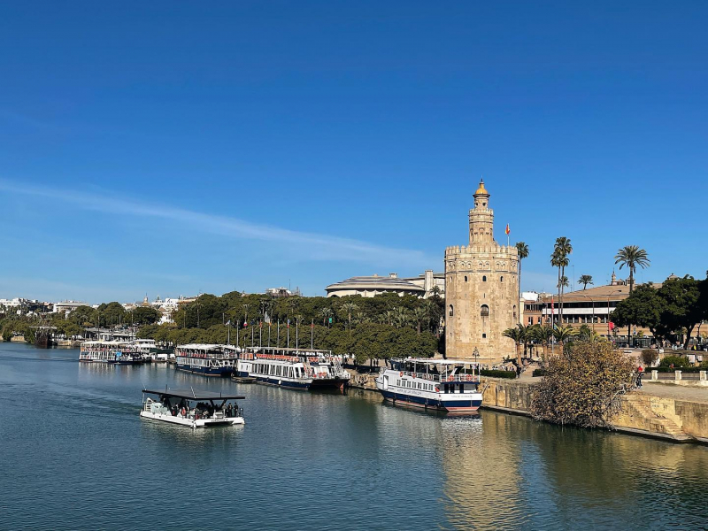
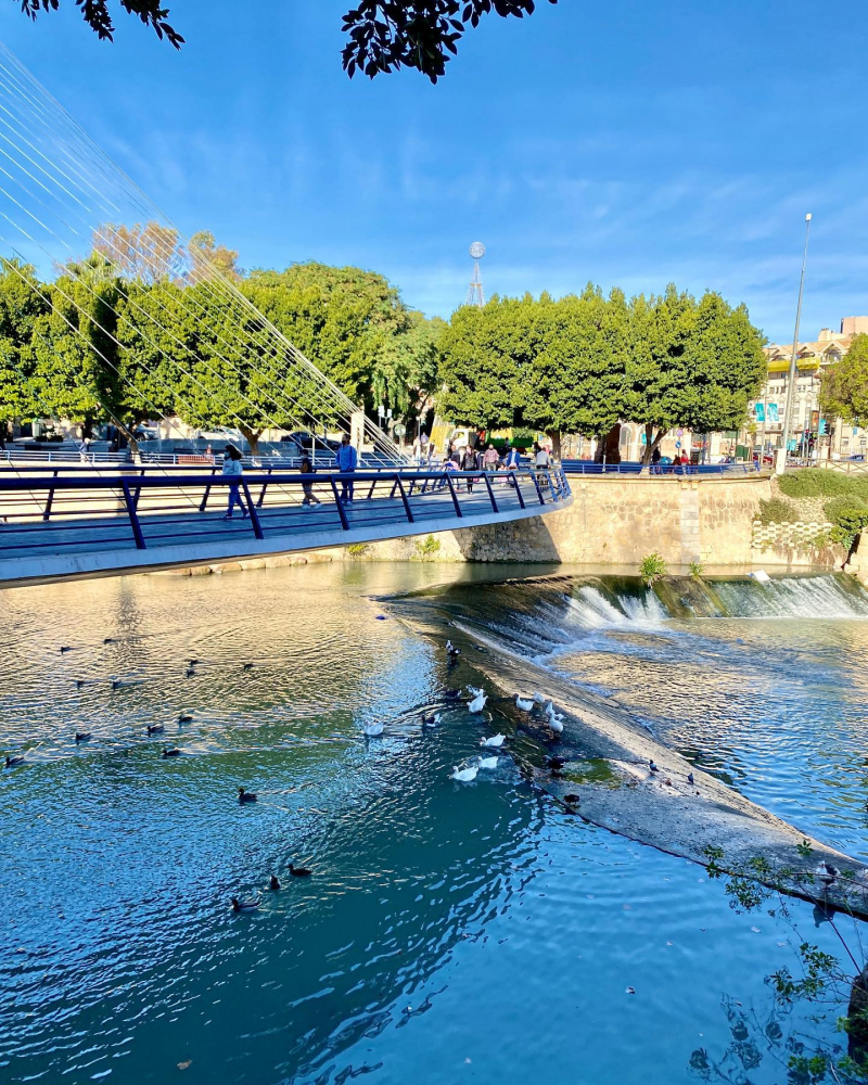
The Guadalquivir is the fifth-longest river in the Iberian Peninsula and the second-longest river located entirely in Spain by length. The Guadalquivir River is Spain's sole significant navigable river. It is currently navigable from the Gulf of Cádiz to Seville, but it was once navigable all the way to Córdoba. The river is 657 kilometers long and drains around 58,000 square kilometers. It begins in the Cazorla mountain range (Jaén), flows through Córdoba and Seville, and finally reaches the sea near the fishing community of Bonanza in Sanlcar de Barrameda, where it pours into the Atlantic Ocean's Gulf of Cádiz.
"Las Marismas" refers to the marshy lowlands at the river's mouth. The Doana National Park reserve is bordered by the river. Guadalquivir's contemporary name is derived from the Arabic al-wd l-kabr, which means "the great river".
In Classical and pre-Classical eras, the Guadalquivir was known by several different names. The native population of Tartessians or Turdetanians called the river Certis (Kertis) and Rherkes, according to Titus Livius (Livy), The History of Rome, Book 28. It was dubbed "the river of Tartessos" by Greek geographers after the city of the same name. Baetis was the name given to it by the Romans (which was the basis for name of the province of Hispania Baetica).Length: 408 miles
https://www.instagram.com/nereazusberro/ 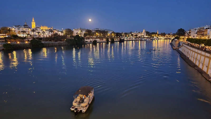
https://www.instagram.com/cristina_2505/ -
The Garonne is one of the longest rivers in Spain. It flows through southern France and northern Spain. It flows 529 kilometers from the central Spanish Pyrenees to the Gironde estuary in the French city of Bordeaux, a distance of 47 kilometers in Spain. If the Gironde estuary between the river and the sea is included, the total length is 602 km. If the Dordogne River, which flows from the east and joins the Garonne at Bec d'Ambès to form the Gironde estuary, is included, the basin size grows to 84,811 km2.
The Battle of the River Garonne, which took place near present-day Bordeaux in 732, pitted Umayyad and Aquitanian soldiers against one other.
The Garonne River is one of the few tidal bore rivers in the world. Although the tidal bore arises and disappears in reaction to changes in the channel bathymetry, surfers and jet skiers may ride it at least as far as Cambes, 120 kilometers from the Atlantic, and even further upstream to Cadillac. In the Garonne's Arcins channel between Arcins Island and the right bank towards Lastrene township, some comprehensive field research was undertaken in 2010 and 2012. The enormous and quick changes in turbulent velocities and turbulent stresses throughout the tidal bore and flood flow were a noticeable aspect of the field data sets.
Length: 374 miles (shared with France)
https://www.instagram.com/vincentfaitdesphotos/ 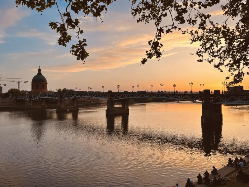
https://www.instagram.com/brijjou56/ -
The Jucar is a river in Spain's Iberian Peninsula. From its source at Ojuelos de Valdeminguete, on the eastern edge of the Montes Universales, Sistema Ibérico, the river flows for around 509 kilometers. The Cabriel is its most important tributary.
Cuenca, Alcalá del Jucar, Cofrentes, Alzira, Sueca, and Cullera, a town near its mouth into the Gulf of Valencia, Mediterranean Sea, flow southward and then eastward through the towns of Cuenca, Alcalá del Jucar, Cofrentes, Alzira, Sueca, and Cullera, a town near its mouth into the Gulf of Valencia, Mediterranean Sea. It runs through Cuenca, Albacete, and Valencia provinces.
The river Jucar burst the Tous's reservoir in 1982, triggering the worst flood in Spanish history, with a flow rate of 16,000 cubic meters per second and the deaths of over 30 people. This flood was the most significant in the history of Spain at the time since the Tous reservoir was supposed to be unbreakable. La pantanada de Tous was the name given to the flood.
Length: 316 miles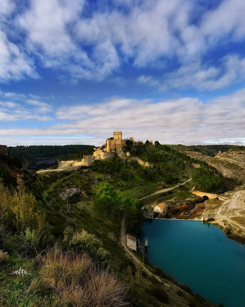
https://www.instagram.com/spain/ 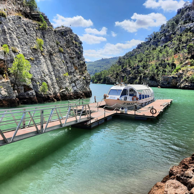
https://www.instagram.com/drlepervanche/ -
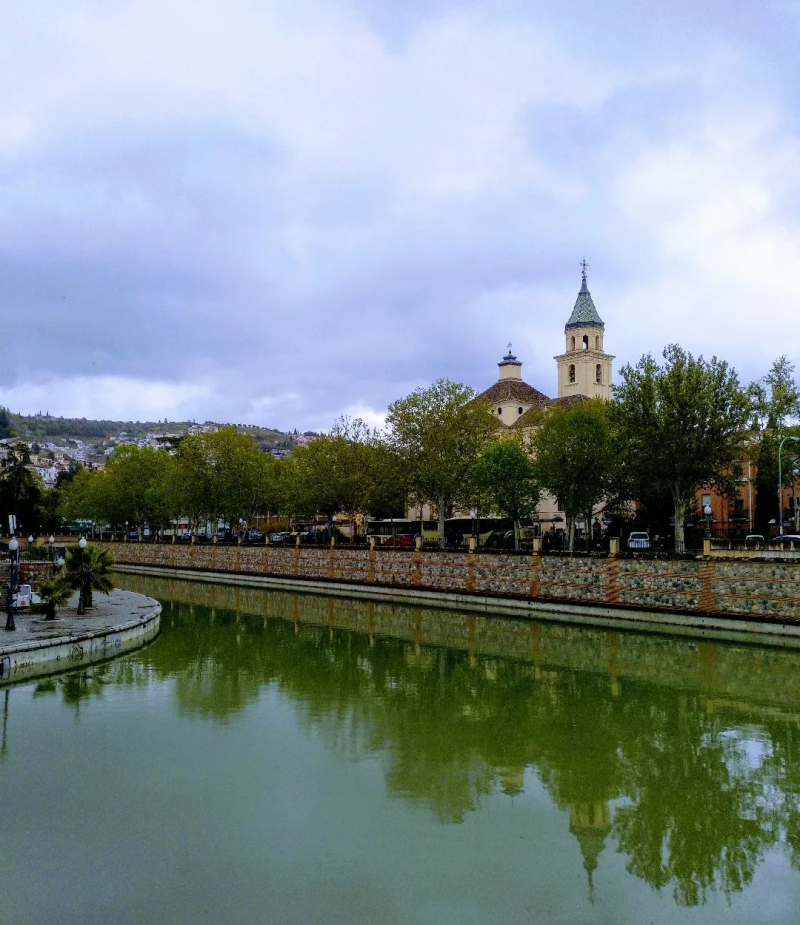
Genil River is the major tributary of the Guadalquivir River in Andalusia, Spain. The present name of the Roman Singilis comes from the Moorish rendition of the Roman name: Sinyil, Sannil, and Sinnil. The Genil originates in the Sierra Nevada, just north of Mulhacén, the highest peak in the range. Granada, Loja, Puente Genil, and Écija are all located along the Genil River. Near Palma del Ro, it empties into the Guadalquivir River. The Darro is its primary tributary. To the southwest of Villanueva Mesa, the Cacn River joins it.
The Granada basin is now drained by the river. This was an endorheic basin in the late Tortonian and the middle and late Turolian. Rivers flowed in from the east and southwest, but there was no way out of the middle lake. The paleo-Cacn river system, which flowed to the north and later departed the basin to the west during the Pliocene, drained the western section of the basin. The Alhambra system, or paleo-Genil system, drained the eastern half, which was fed by the mountains to the east and fed a tiny endorheic lake in the north. After a while, the Genil river shifted course and entered the paleo-Cacin system, causing the basin to become exorheic.
Length: 222 miles
https://www.instagram.com/monique_crops2014/ 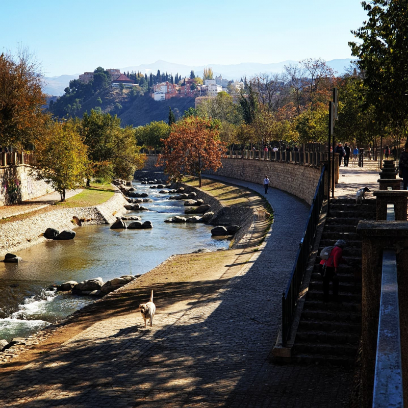
https://www.instagram.com/vegalune/ -
Minho is Galicia's longest river, with a length of 340 kilometers and a border with Portugal. It is the fourth largest river in the Iberian peninsula, behind the Douro, Ebro, and Tagus. The Minho is a river that provides water to vineyards and fields, generates hydroelectric power, and defines a part of the Spanish–Portuguese border. On old English maps, it is referred to as Minno.
The Minho's source is located north of Lugo, in Galicia, at Pedregal de Irimia. After about 73 kilometers, the river passes close south of the old Roman city's walls, discharging 42 m3/s on average, and flows south through canyons until the valley opens north of Ourense. From Portomarn to Frieira, the river has been tamed in reservoirs. Belesar, with 654 cubic hectometres, Peares, with 182 cubic hectometres, Velle, with 17 cubic hectometres, Castrelo, with 60 cubic hectometres, and Frieira, with 44 cubic hectometres, are the reservoirs along its length.
The story describes the oral history of Galician mythological beings who lived in the Rio Minho's basin, such as feiticeiras (witches) who lived in the same river, the Xarcos who lived in wells throughout the watershed, and fish-men who were amphibious and could live on land and in water.Length: 217 miles (shared with Portugal)
https://www.instagram.com/lolisamae/ 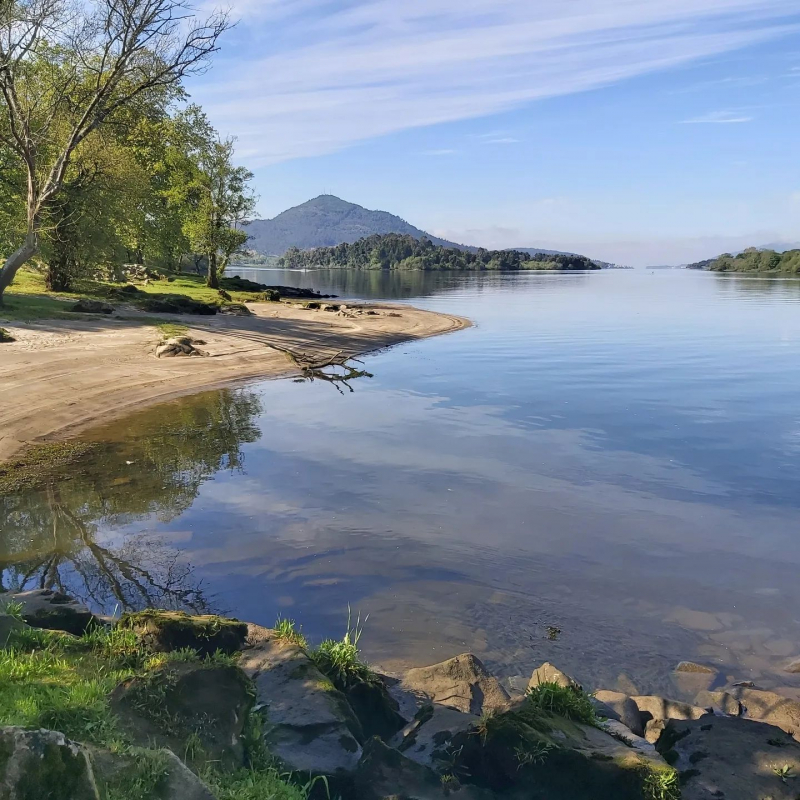
https://www.instagram.com/kellyvanpraet/ -
Segura is a standard size river in southeastern Spain. Its origins can be seen in the Sierra de Segura. The river flows from Santiago Pontones to Guardamar del Segura in the province of Alicante, passing through Calasparra, Cieza, Blanca, Murcia, Beniaján, Orihuela, and Rojales before emptying into the Mediterranean Sea in Guardamar del Segura. The Mundo, the Alhárabe, the Mula, and the Guadalentn are some of its tributaries.
The Vega del Segura alluvial plain is an extremely fertile agricultural region that grows a broad range of fruits, vegetables, and flowers. The city of Las Vegas is separated into three sections: Alta, Media, and Baja (upper, medium, and lower). The Segura is usually in a semi-permanent drought, but it does periodically flood as a result of severe rainfall, which occur once every 6–9 years on average and always in the Autumn and Spring. The Guadalentn River, a tributary of the Segura, is Europe's wildest river.
Significant floods happened in the twentieth century in 1946, 1948, 1973, 1982, 1987, and 1989. The lower parts of the river have been canalized since 1990, reducing meanders and thereby improving flood evacuation. When severe rains caused major runoff in September 1997, October 2000, December 2016 and September 2019, the new canal was put to the test.Length: 202 miles
https://www.instagram.com/adventuringspain/ 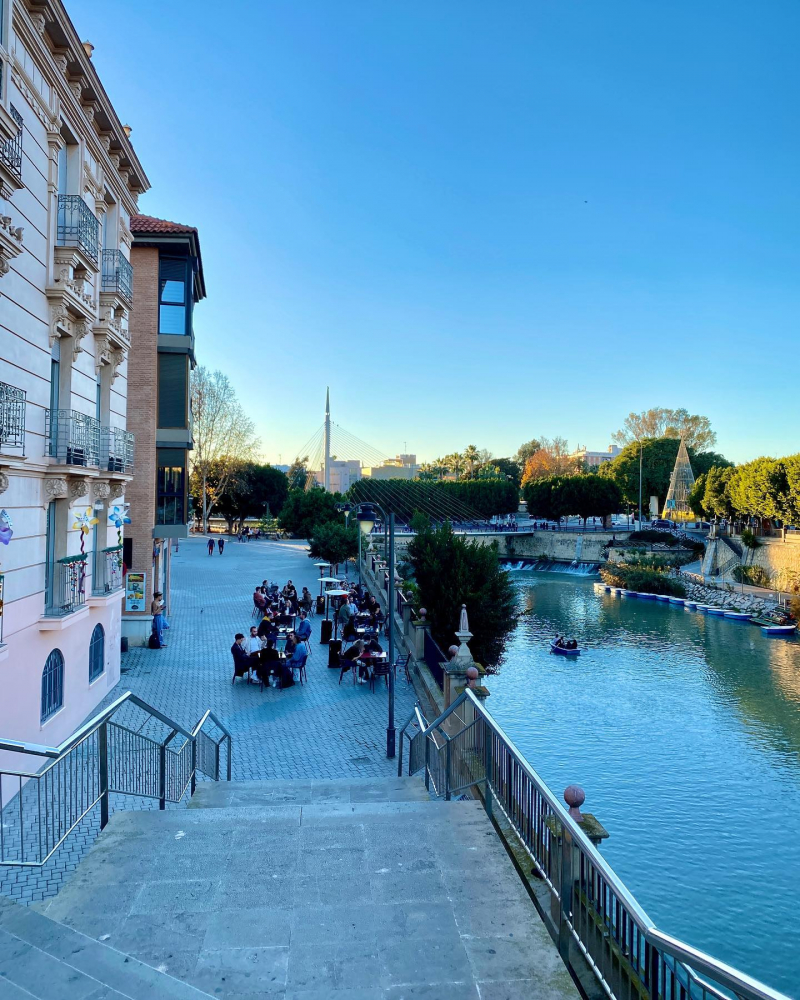
https://www.instagram.com/adventuringspain/


