


Top 5 Highest Mountains in Yemen

Yemen is an Arabic country in western Asia, with Sana'a serving as both the capital and the country's largest city. Even after the overthrown President ... read more...declared that he was still in office after a coup in 2014, a group known as the Houthis grabbed control of the country. Arabic is the official language of the country, which is a unitary semi-presidential state. In the Arabian Sea, Yemen has several volcanic islands. This post will discuss about top 5 highest mountains in Yemen.
-
Nabi and Jabal Shu'ayb, one of the highest mountains in Yemen, is found in the governorate of Sana'a. It has a prominence of 10,912 feet and is located at an elevation of 12,028 feet above sea level. The mountain's etymology is biblical. A mountain is referred to as Jabal in Arabic, while a prophet is referred to as Nabi.
It is relatively difficult to be allowed to its summit, but restrictions have eased as of late. Although the summit is not snow-capped like its counterparts in northern Lebanon and Syria, there have been reports of snow on the peak and frost in the winter. Wind speeds are very high at the summit.
In April 2019, Ahmad Zein Al-Yafei, an Emirati security officer from Dubai, claimed scaling the mountain in 69 hours, unfurling the banner of Dubai Police at the peak, mentioned that reaching the summit was hard, long and tiring, having to go through low levels of oxygen, air pressure and temperature.
Location: Bani Matar District, Sanaa Governorate, Yemen.
Elevation: 3,760m
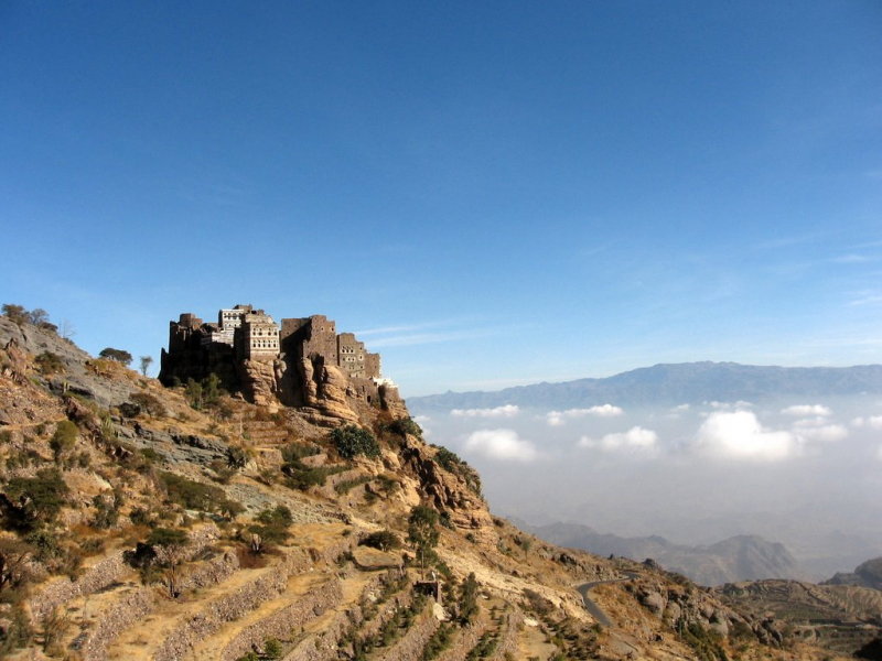
Photo source: Wikipedia 
Photo source: Wikipedia -
The mountain of Jabal al Qullah is found in the Mu afazat La ij region of Yemen. It is ranked 2nd among the highest mountains in Yemen, behind Jabal and Nabi Shu'ayb, with an elevation of 10,607 feet above sea level. Depending on the language, the name of the mountain is spelled differently.
There are some localities that may interest tourist: Al Hamdan, Al Sarmad, Mahrabah, Al Muslih.
Besides, landmarks could be ideal places, here are some options for tourist: Wadi HadaqanValley (1¼ km south), Wadi ArirValley (1½ km northwest), Wadi KhashirValley (3 km west), Jabal Ya‘şūmPeak (3 km south).
Moreover, tourist can discover other places that nearly to Jabal Al Qullah: Wahdat Al JabirClinic (3½ km southeast), Al Wahdah as Sihhiyah al Maddah Bin KhuliClinic (6 km west), Al HarfResidence (7 km northwest), Wahdat as Saqah Bani `IbadClinic (9 km southwest)
Location: Yarim District
Elevation: 2,521 m
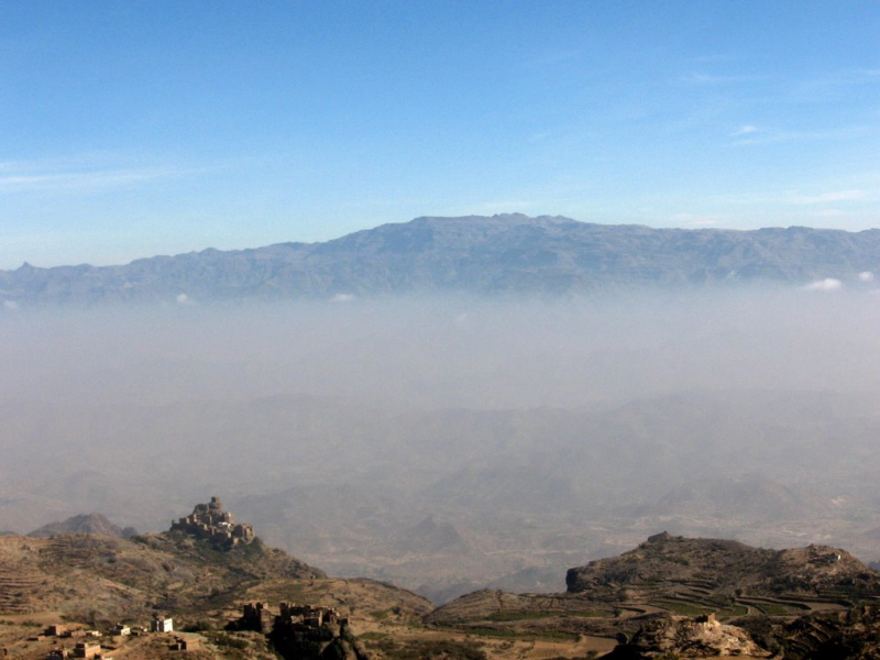
Photo source: Wikipedia 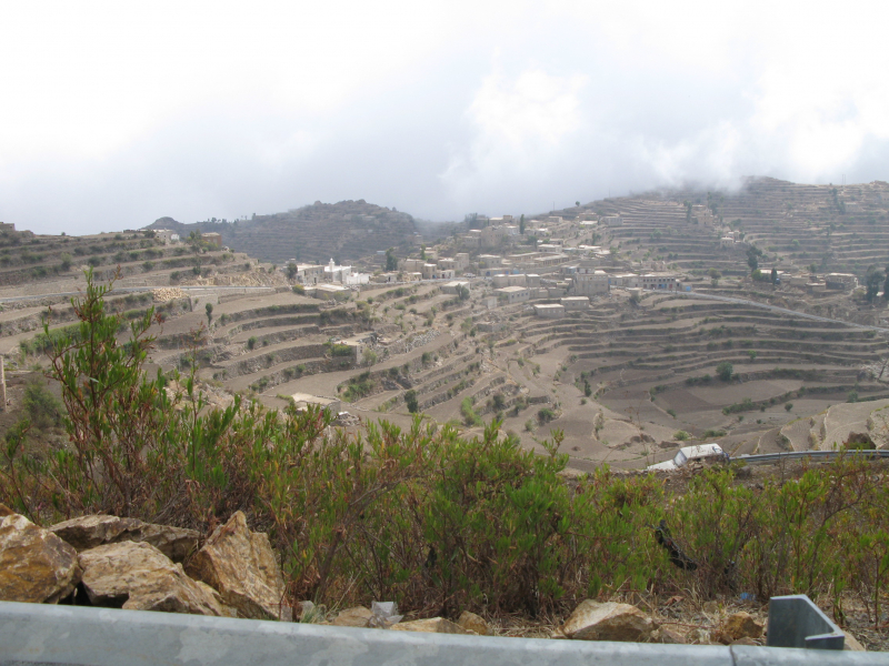
Photo source: Wikipedia -
With an elevation of 3218 feet above sea level, Jabal Shakhab ‘Ammar is found in An Nadirah. Ibb is the highest administrative division. There is no written record of the first ascent.
In DMS (Degrees Minutes Seconds), its coordinates are 14°8'43" N and 44°29'34" E, or 14.1453 and 44.4928. (in decimal degrees). MA46 is its UTM position, and ND38-06 is its Joint Operation Graphics reference.
The sun rises at 08:56 and sets at 21:03 local time (Asia/Aden UTC/GMT+3); the current local time is 21:02. UTC/GMT+3 is the standard time zone for Jabal Shakhab 'Ammar.
DST begins on - and finishes on - in 2022.
A mountain is a high point that rises high above the surrounding area and has a tiny summit area, steep slopes, and a local relief of 300 meters or more.Location: An Nadirah
Elevation: 3 195 m
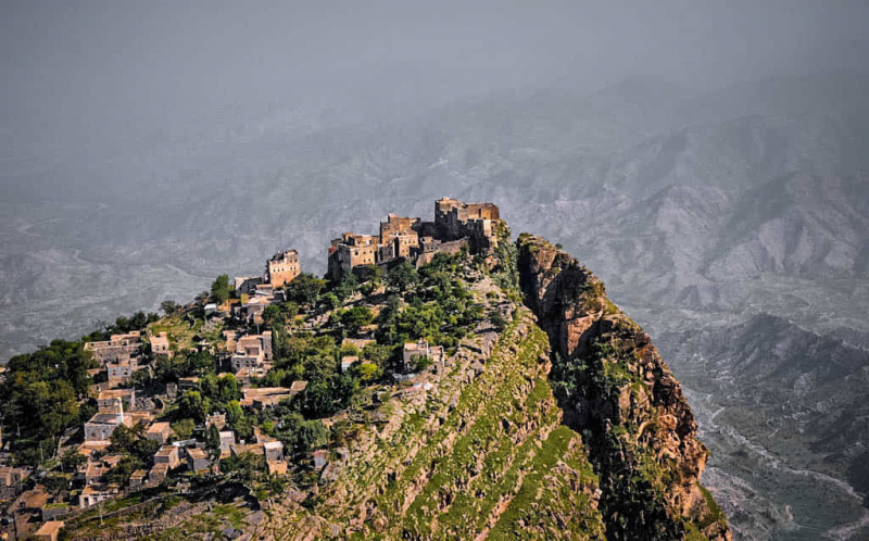
Photo source: PsychLander 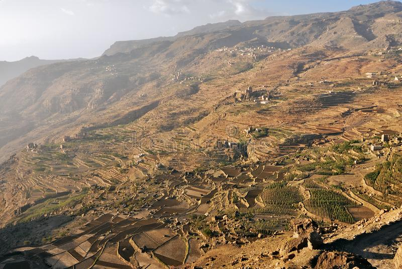
Photo source: Dreamstime.com -
The mountain Jabal 'Ayban is located near Bayt Na'amah. Djebel Hadde, Jabal Haddah, and Jebel Hadda are some of the various names for it. With a height of 10,457 feet above sea level, it is one of the highest mountains in Yemen.
Yemen is best visited in January, February, March, November, and December, when the weather is pleasant throughout the country.
Also, traveling during the months of April and October is a fantastic idea, but weather conditions can make the trip tough at times. In May, June, July, August, and September, the weather can be adverse; while the travel is still possible, this is not the greatest season, then it may be erratic, with a proclivity for being unpleasant.
Location: southwest of Jabal al Masnaah
Elevation: 3,187 m
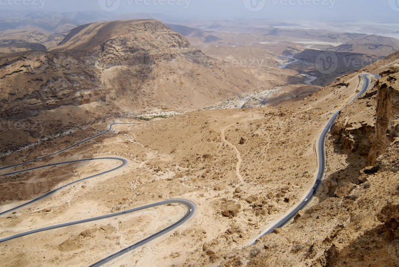
Photo source: Vecteezy 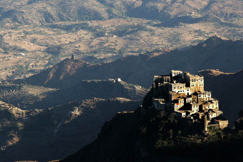
Photo source: Pinterest -
Jabal Rihqah stands at a height of 10,112 feet above sea level, which is ranked 5th among the highesrmountains. It is also known as Jabal Ruqha and is located seven kilometers from the town of Bayt Rijal.
Asia/Aden is the time zone in Jabal Rihqah. Sunrise occurs at 05:51 in the morning and sunset is at 18:17 in the evening. It's a Dark Rough GPS position with a latitude of 15.2150 degrees and a longitude of 44.0889 degrees.
Tourists's health and safety are in grave danger. This could be due to a significant danger of terrorism, conflict, violent social upheaval, widespread infectious disease, or high levels of violent crime. It could be a mixture of dangers. Tourists run a high danger of death, incarceration, kidnapping, or major harm when visit to this region. This destination should not be visited, although if people are already in a 'Do not travel' zone, they should consider leaving. It's worth noting that tourist's travel insurance policy can be null and void.
Location: Bani Matar District
Elevation: 3082 m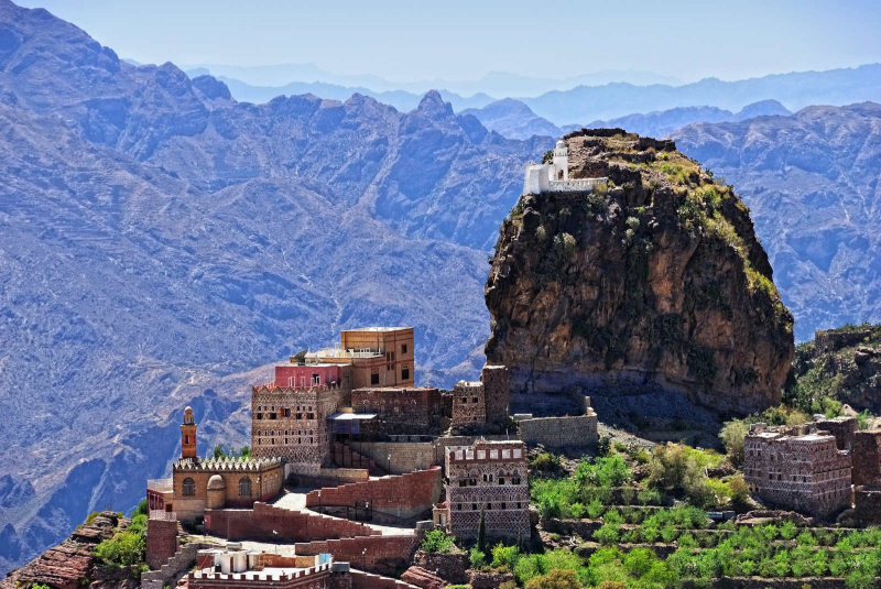
Photo source: Blogdulich 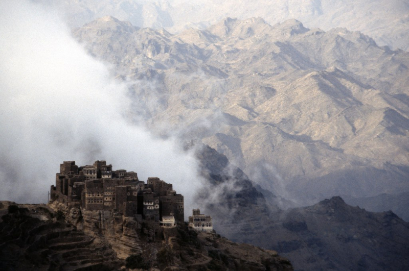
Photo source: Flickr


