


Top 10 Longest Rivers in Kyrgyzstan

Kyrgyzstan's rivers cover 150,000 km and are made up of over 40,000 rivers and streams. Due to Kyrgyzstan's remote location from the seas, all of the country's ... read more...rivers flow through closed drainage systems that do not drain into the sea. This article covers the longest Rivers in Kyrgyzstan.
-
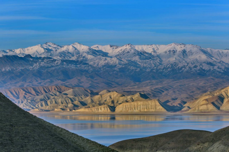
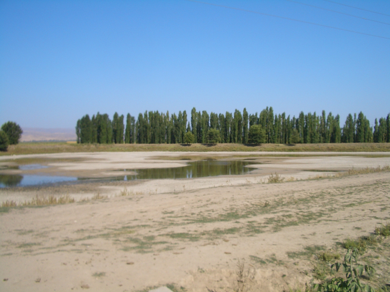
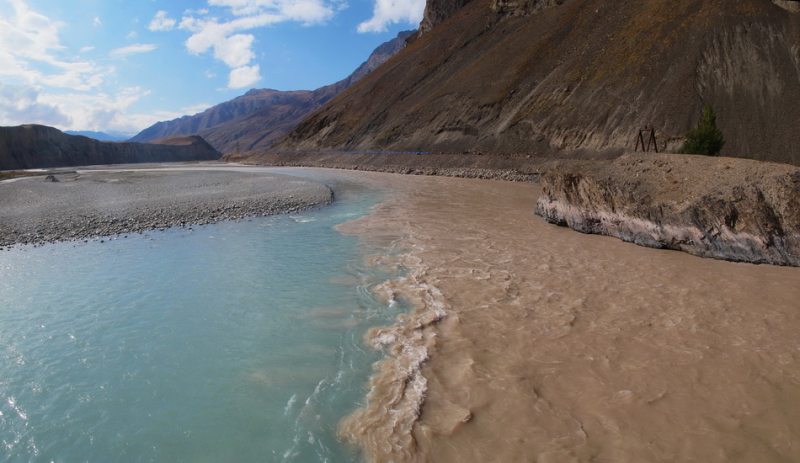
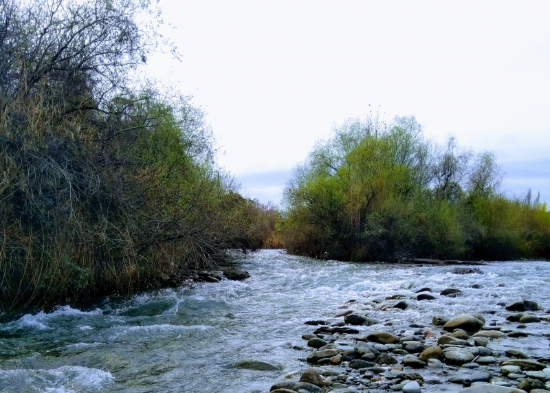
The Naryn River runs through Kyrgyzstan and Uzbekistan, encompassing 807 kilometers (501 miles) with a watershed of 59,000 square kilometers (22,780 square miles). The river originates from glaciers in the Central Tian Shan and merges with the Big and Little Naryn Rivers to form the Naryn River.
Starting in the Naryn State National Park and flowing through the cities of Naryn, Tash-Kumyr, and Uchkurgan, the Naryn River travels through steep gorges and plains. The Naryn Too Mountains, which range for 130 kilometers (80 miles) and reach a maximum height of 4,530 meters, run beside this section of the river. The river is heavily utilized for irrigation, with multiple canals branching off of it.
The Naryn River travels past Toktogul, through Jalal-Abad, and into Uzbekistan, where it merges with the Kara Darya to create the Syr Darya, which flows to the Aral Sea. Water rights and the flow of the Naryn River may be a source of conflict between the two nations because so much water in Uzbekistan comes from Kyrgyz rivers, and irrigation is so important to agriculture in Uzbekistan. This river is one of longest Rivers in Kyrgyzstan.
Length: 616 km
https://novastan.org/en/ 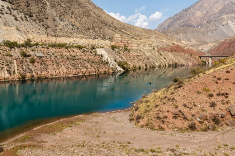
https://img.freepik.com/ -
The Talas River is a large river as well, although it is more renowned for its historical significance. It was here, in 751, that the Chinese were defeated by the Arab Abbasid Caliphate, marking the westernmost frontier of Chinese expansion.
The war also signaled the end of Chinese and Buddhist control in Central Asia and the start of Islam's rise over the area. Chinese prisoners of war captured in Samarkand following the Battle of Talas also transported the secrets of papermaking and silk manufacture outside of China for the first time. Ice and snow serve as nourishment on the Talas River.
It is produced by the confluence of the Karakol and Uch-Koshoy rivers, both of which originate in Kyrgyzstan's Talas slope glaciers. The Talas River receives various tributaries along the course, the most significant of which are the Urmaral, Kara-Buura, Kumushtak, Kalba, and Besh-Tash. The river gets lost in the dunes of Moyynkum downstream. This river is one of longest Rivers in Kyrgyzstan.
Length: 294 km
https://en.wikipedia.org/wiki/ 
https://unece.org/ -
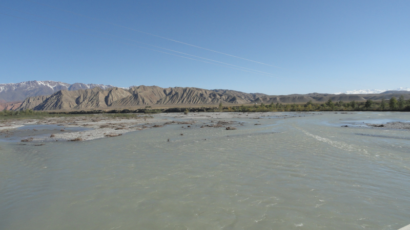
From the Naryn Region, the Chu River travels along the eastern border of the Kyrgyz Range, via the Boom Gorge, past Bishkek, and into Kazakhstan's deserts. The river is said to come out of Issyk-Kul, however it really travels through the highlands, missing the lake by many kilometers (though water from the lake may feed the river through deep underground passages).
The Chu River, as well as other rivers that run through the region, water the valley surrounding Bishkek extensively. The water pollution index of the Chu River in the Chu Valley varied from 0.25 to 0.7 units in 2004–08, according to the Kyrgyz State Agency for Hydrometeorology, indicating Class II contamination. The lone exception was a monitoring station downstream of Vasilyevka hamlet, where the water pollution index varied from 0.4 to 1.2 units and the water quality was rated Class II(Clean)/Class III.
According to Kazakhstan Hydrometeorological Service (Kazhydromet), the Shu (Chu) River in Kazakhstan's Jambyl Region had a water pollution index of 2.01 (Class III, "Moderately contaminated") in 2008 and 1.83 (Class III, "Moderately polluted") in 2009. Biochemical oxygen demand, nitrites, copper, and phenols all surpassed the maximum permitted quantities in the water.
Length: 221 km
https://en.wikipedia.org/wiki 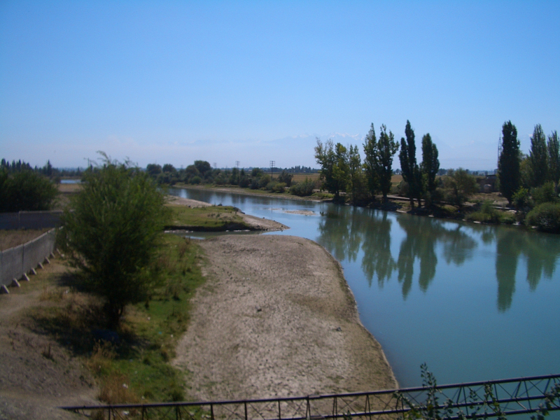
https://en.wikipedia.org/wiki -
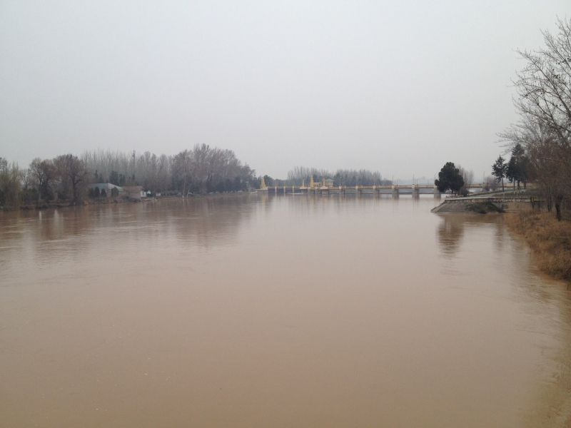
The Kara Darya River is a large river in southern Kyrgyzstan and eastern Uzbekistan. It is one of the two parent rivers for the Syr Darya (Central Asia's second biggest river), the other being the Naryn. The confluence of the rivers Kara-Kulja and Tar forms the Kara Darya. It is 177 kilometers long (110 miles) and has a watershed area of 30,100 square kilometers (11,600 sq mi).
The upper Kara Darya River runs northwest through eastern Osh, parallel to the Fergana Range and southwest of it. A few kilometers west of zgön, it reaches the Fergana Valley and Uzbek territory. It is utilized for irrigation in its lower course in the Fergana Valley.
Part of the water from a dam at Kuyganyor (north of Andijan) is diverted into the Great Fergana Canal. The Andijan Reservoir was produced by the Andijan Dam, which was completed in 1973. The Kara Darya has about 200 recognized tributaries, the greatest of which are, from source to mouth. This river is one of longest Rivers in Kyrgyzstan.
Length: 189 km
https://en.wikipedia.org/wiki 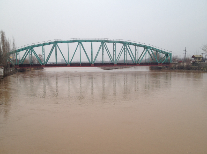
https://upload.wikimedia.org/ -
The Sary Jaz River flows through China's Xinjiang province and Kyrgyzstan's Ak-Suu District in the Issyk-Kul Province. In Kyrgyzstan, the top portion is known as the Saryjaz (Kyrgyz: apа). Kumarik refers to the area between the Kyrgyz-Chinese border and the confluence with the Toshkan.
The Sary Jaz river's overall length is 282 kilometers (175 miles), with 197 kilometers (122 miles) in Kyrgyzstan. Kyrgyzstan has a drainage basin of 12,900 square kilometers (5,000 square miles). The Aksu is the only Tarim source river that flows continuously throughout the year.
The river originates near the Semyonov glacier in Kyrgyzstan's Central Tian Shan mountains, close to the Kazakhstan-China border. From here, it goes west before turning south and bursting through the steep mountains into Xinjiang in the Tarim Basin's northern reaches. It joins its major tributary, the Toshkan (Kakshaal), which comes in from the west, at the city of Aksu. The river continues south after the junction, entering the Taklamakan Desert's northern border, where it meets the Tarim River.
Length: 165 km
https://triptokyrgyzstan.com/ 
https://triptokyrgyzstan.com/ -
The Chatkal River (Russian: aткал) is a river that flows through Kyrgyzstan's Jalal-Abad region and Uzbekistan's Tashkent region. It is the Chirchiq's left source river in the Syr Darya basin. It is known as Karakulja in its higher reaches.
The river runs for 223 kilometers (139 miles) and has a basin size of 7,110 square kilometers (2,750 sq mi). It begins when the Chatkal Range meets the Talas Ala-Too Range. From the left, the Aksuu, Kokuybel, Avletim, Ters, and Nayza (Oqbuloq), and from the right, the Karakysmak, Beshterek, Chandalash, and Köksuu.
Water flow at the mouth averages 122 cubic meters per second (4,300 cubic feet per second), with a maximum of 920 cubic meters per second. The Chatkal River originates in the western Tian Shan and flows into Uzbekistan through a lonely valley. The Chandalash Range and a 120-kilometer (75-mile) mountain range of the same name border it. This river is one of the longest rivers in Kyrgyzstan.
Length: 155 km
https://commons.wikimedia.org/ 
https://commons.wikimedia.org/ -
The Kyzyl Suu River is a Central Asian river and one of Tajikistan's major rivers. It flows into the Amu Darya River as a tributary. The river travels through the Pamirs, often restricting its flow to tiny channels and steep gorges due to the rocky terrain.
The Kyzyl Suu River is fed by some of Tajikistan's greatest glaciers, including the Fedchenko and Abramov glaciers (the former being the world's longest glacier outside of the polar regions). The Muksu and the Obikhingou are its two major tributaries; the Kyzyl Suu River proper originates near the junction of the Obikhingou and Surkhob rivers.
The Kyzyl Suu River flows across the rich plains of southwest Tajikistan after leaving the Pamirs. It comes to an end when it merges with the Panj to form the Amu Darya on the Tajikistan-Afghanistan border. At the confluence of this river and the Panj, the Tigrovaya Balka Nature Reserve, which was the final home of the now-extinct Caspian tiger in the former USSR, is located.
Length: 128 km
https://en.wikipedia.org/ 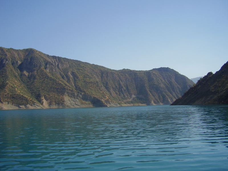
https://en.wikipedia.org/ -
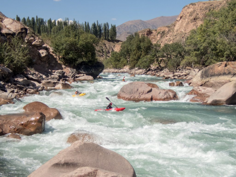
The Keke Meren River (Kyrgyz: кмeрен) is a right tributary of the Naryn that flows through Kyrgyzstan's Chüy (Jayyl District) and Naryn (Jumgal District). The confluence of the rivers Suusamyr and Batysh Karakol gives it its name (Western Karakol).
It's 199 kilometers long (124 miles), with a drainage basin of 10,400 square kilometers (4,000 square miles) with an average discharge of 80.3 cubic meters per second (2,840 cubic feet per second). It has a lot of potential for hydropower.
China and Kyrgyzstan signed a memorandum of intent in June 2011 to start building on the Kökömeren River power plant chain in 2012. On the Kökömeren, whitewater rafting and fishing are popular tourist activities.
Keke Meren River is a very beautiful place, suitable for fishing, hiking and rafting. There are small hotels in Kyrgyzstan (yurts). It is easy to get here from Bishkek by car in about 4-5 hours. This river is sometimes wide and always fast flowing with impressive gorges. This is a place where rafting requires high skill.
Length: 108 km
https://too.kg/en/kekemeren-gorge 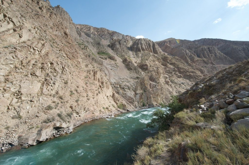
https://too.kg/en/kekemeren-gorge -
In Kyrgyzstan and Uzbekistan, there is Ak-Buura River (Kyrgyz: к-уурa). It runs through the city of Osh before emptying into the Shahrixonsoy, one of the Fergana Valley's canals. The river originates on the Alai Mountains' north slopes.
The Ak-Buura River is 148 kilometers (92 miles) long, with a 2,530-square-kilometer watershed (980 sq mi). The river's long-term average discharge at Tölöykön gauging post.
The Ak-Buura River has fast flowing water and many bushes and small trees on both sides. Along the riverbank is a pebble beach with countless shapes and colors. The river has a rather shallow section but also a rather deep section, so visitors need to have a guide with them or pay attention to it because it is easy to slip due to pebbles along the riverside.
If you take a boat in the deep water, you can see the houses along the two banks of the river. Visitors are very hospitable and you can ask for food if you want.
Length: 148 km
https://www.wikidata.org/ 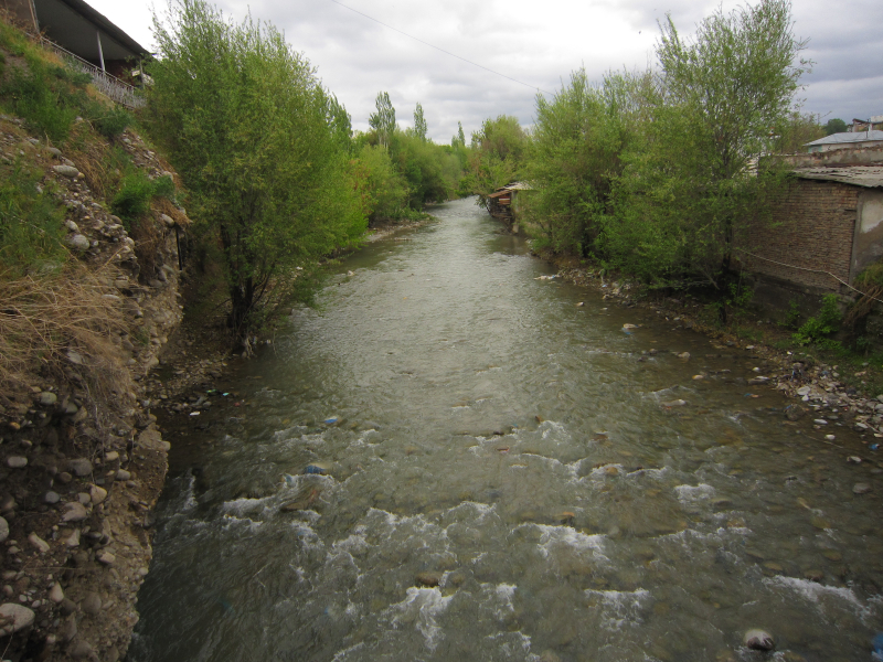
https://www.wikidata.org/ -
In Kyrgyzstan's Naryn Region, the At-Bashy River (Kyrgyz: т-a) is a left tributary of the Naryn. The river is produced by the confluence of the rivers Ulan and Jangy-Jer on the north slope of the Jangy-Jer Range. Near Dostuk, it empties into the Naryn.
At-Bashy River stretches over 180 kilometers (110 miles) and drains 5,540 square kilometers (2,140 sq mi). 3.060 m average altitude, 33.1 m3/s yearly average flow rate, and 5.98 L/s•km2 average specific discharge At-Bashy, Bash-Kayyngdy, Birinchi May, and Taldy-Suu are all settlements along the At-banks. This river is one of longest Rivers in Kyrgyzstan.
Visit one of Central's major weekly bazaars, which is located on the outskirts of the hamlet on the At-Bashy river. The market is surrounded by gorgeous mountain backgrounds and picturesque views of the local area. Hundreds of sheep, horses, ducks, turkeys, donkeys, goats, cows, and other animals may be seen. Don't miss out on this fantastic opportunity to witness how Kyrgyz people live, eat, and drink in their own country! Only on Sundays!
Length: 180 km
https://www.flickr.com/ 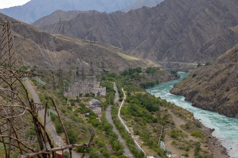
https://www.flickr.com/


